Advanced Survey Technologies Deliver Clear View of Geologic Hazards
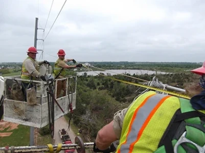
Electric utilities commonly use trained foresters, traversing thousands of miles, to manually identify vegetation or other geographic hazards posing risks to transmission infrastructure. For one utility in the Western United States, the challenging terrain and accuracy limitations of laser range finders used to visually identify at-risk trees resulted in 1,424 trees assessed as requiring maintenance, potentially costing $200,000.
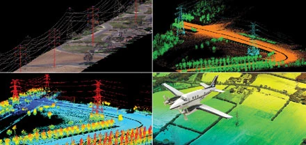
Months later, surveying the same assets using high-resolution LiDAR (Light Detection and Ranging) on fixed wing aircraft, the utility determined only 35 trees needed management, including 17 trees not originally identified in the forester’s survey. Ultimately the use of new technology saved the utility more than $150,000 in maintenance fees.
LiDAR and other improvements in geological hazard mapping are proven to reduce maintenance costs, minimize outage risks, improve safety of field workers and deliver greater shareholder value.
NERC Builds the Foundation
Frequent blackouts caused by vegetation encroachment on power lines and improperly rated lines led the North American Electric Reliability Corporation (NERC) in 2011 to require high-resolution LiDAR for monitoring more than 450,000 miles of North American transmission lines.

